Hike Information:
Distance: 3.25 miles round trip (up and back)
Time: 2 - 2.5 hours (approximately, with ample time to stop along the way. It took us around 2.5 hours including a stop for lunch and some exploration.)
Travel time from Chico: 50 minutes (depending on where you live)
We just recently discovered this hiking spot. It consists of three different trail options and is located just outside of Magalia. We had never explored this area before and started with the hike the furthest up the road as we had heard there were a series of beautiful waterfalls that would be flowing this time of year. We were not disappointed!
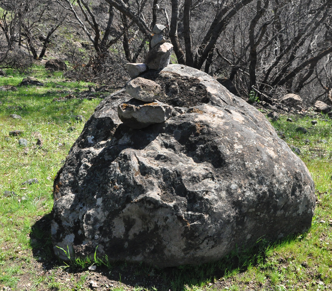
Having never driven to this area before, we had a couple of moments of feeling like we might have taken a wrong turn but ended up finding it without too much trouble. If you glance at the pictures below for some visual markers, it should be easy to locate.
***Just a note, while we found this trail to be well maintained and not too strenuous in most areas, this hike requires some solid shoes - preferably waterproof - as there are several spots along the way where the waterfalls cascade down into the trail. We did this hike in late January after several weeks of regular rain showers so it is likely that this area may typically be much drier than we experienced.***
From downtown Chico, the drive is around 25 miles but takes a little under an hour due to the gravel roads. To start, take Skyway Road towards Paradise. Continue up the Skyway passing through the main part of Magalia. Turn left on Powellton Road. Shortly after you turn on Powellton Road, it will intersect with Doe Mill Road. Powellton Road takes a slight right but you will want to stay more to the left and continue on Doe Mill Road.
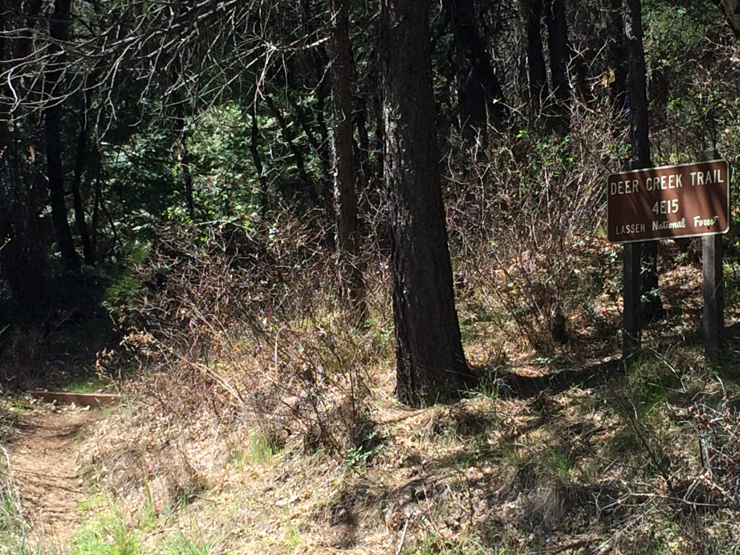
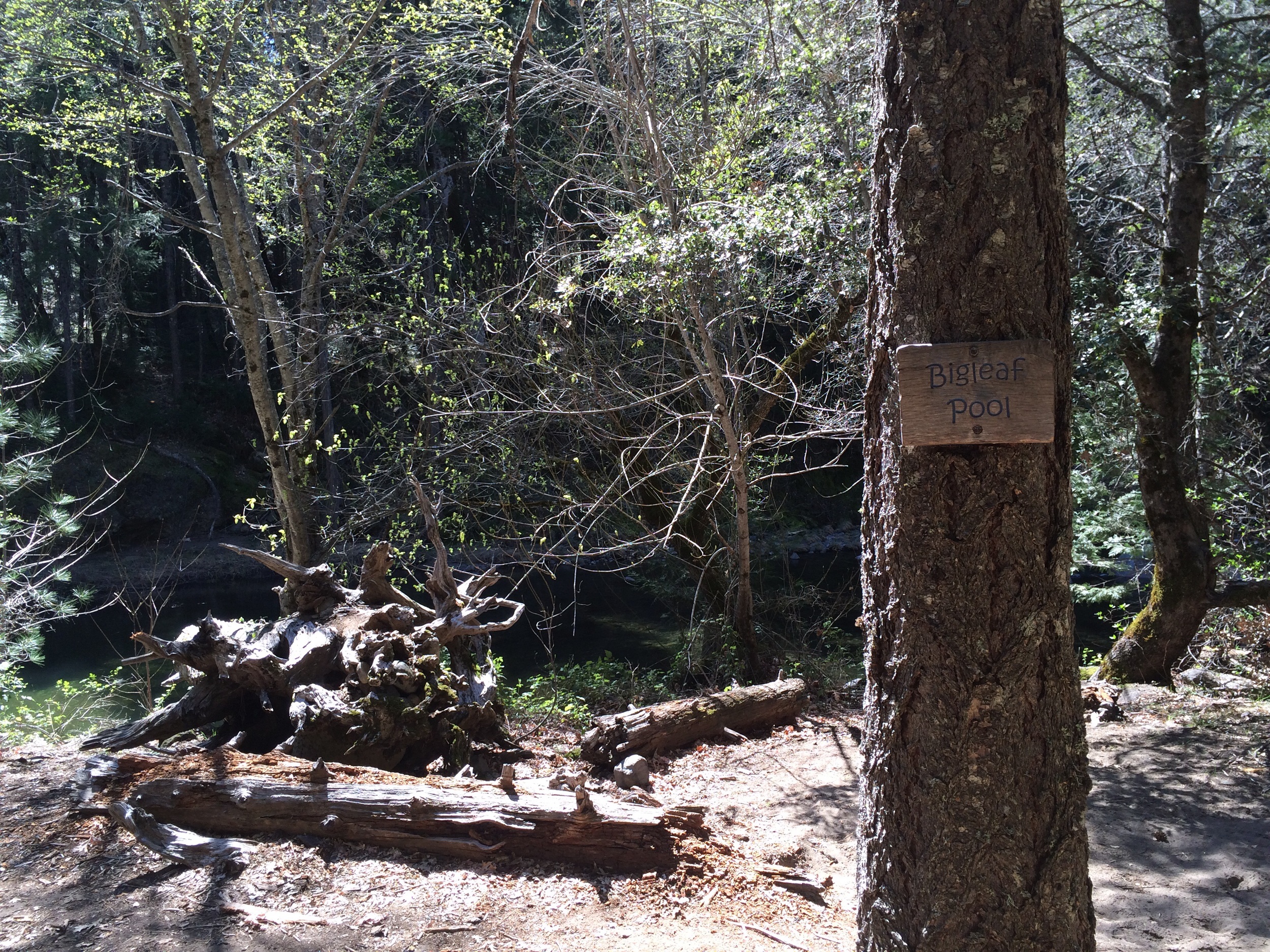
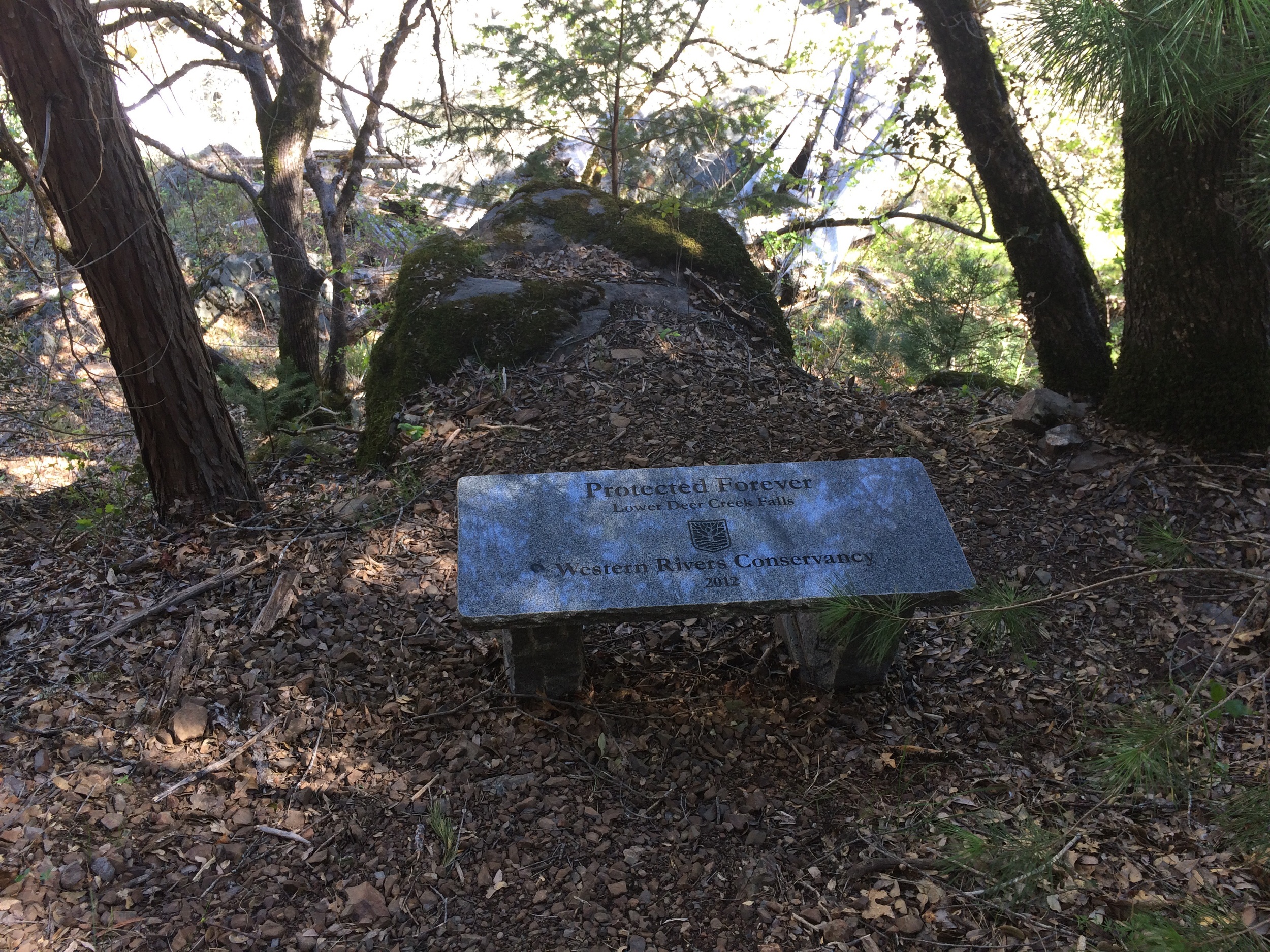
A little under a mile from the Skyway turn off, you will cross over a small bridge. Continue over the bridge on Doe Mill Road. Shortly after, you will see the sign for "Forks of Butte Creek Recreation Area" (SEE PHOTO). The road splits into three at this point but you want to continue straight ahead past this sign. At this point, you will continue on this road for a little over two miles. As you wind down this road, there are several turn offs for private driveways but you are on the right path. Continue on until you reach a large bridge that crosses over the creek (SEE PHOTO). Before the bridge, you will see a trail marker to the right but you want to continue over the bridge. You will see another sign for "Forks of Butte Creek: Butte Creek Trail." There is another trail marker and small parking spot directly to the right of this sign however, we continued up the road to the third trail marker on the left hand side of the road (SEE PHOTO). There are several small turnoffs above the "Forks of Butte Creek" sign where parking is possible.
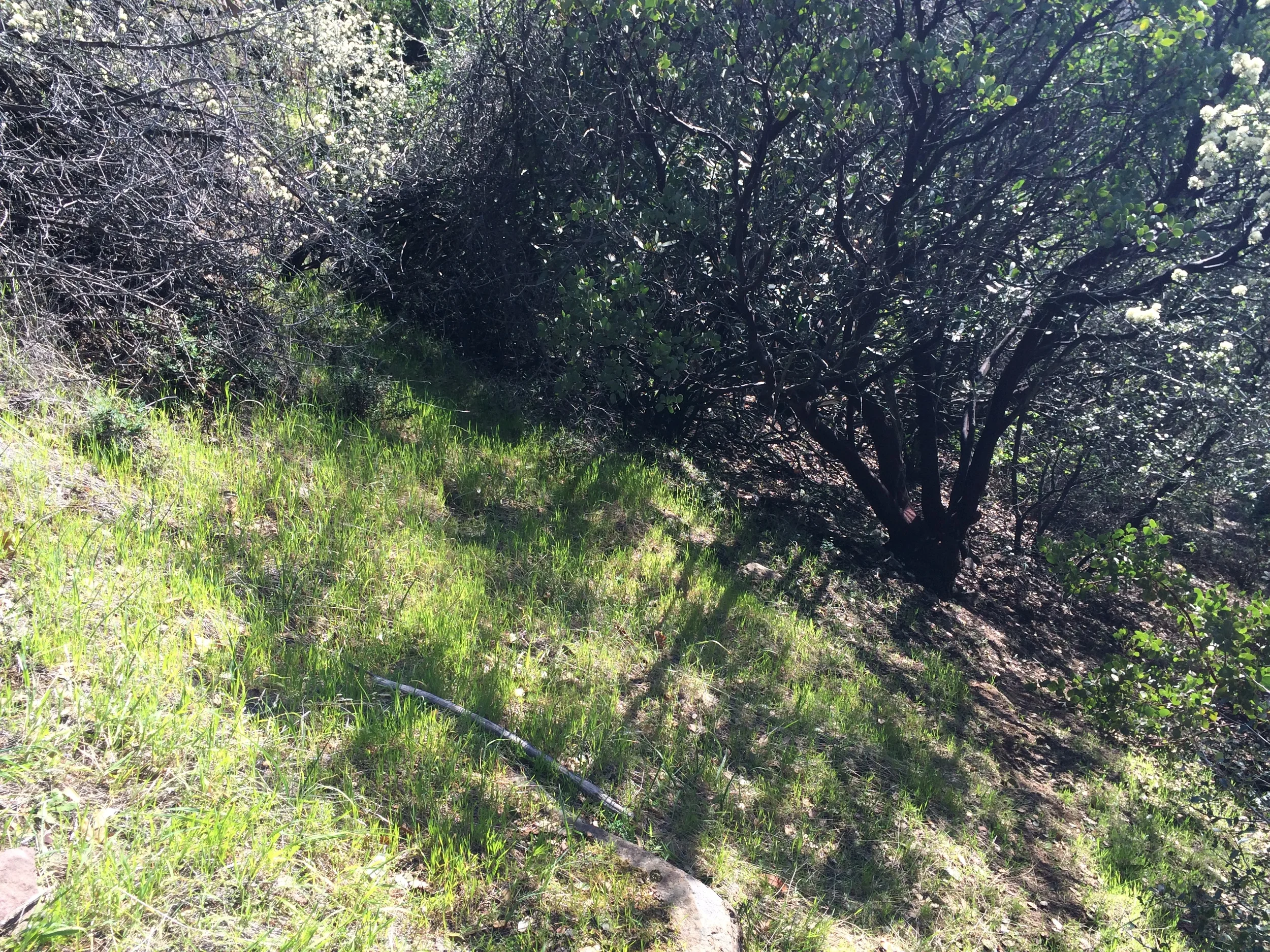
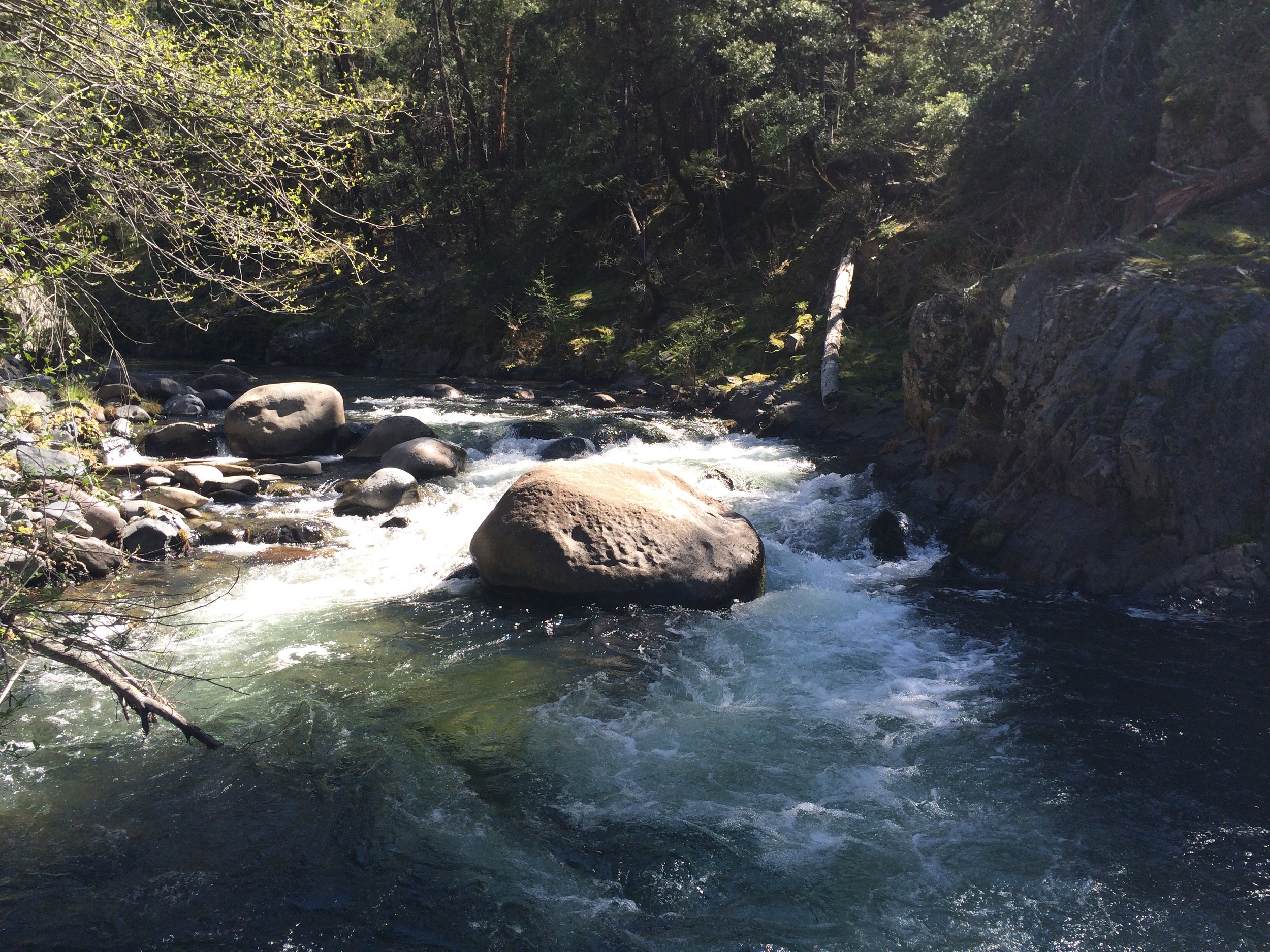
The trail meanders along the creek for the duration of the hike. There were a series of beautiful waterfalls (this time of year) and lots of spots along the trail to steer off and head down to the water.
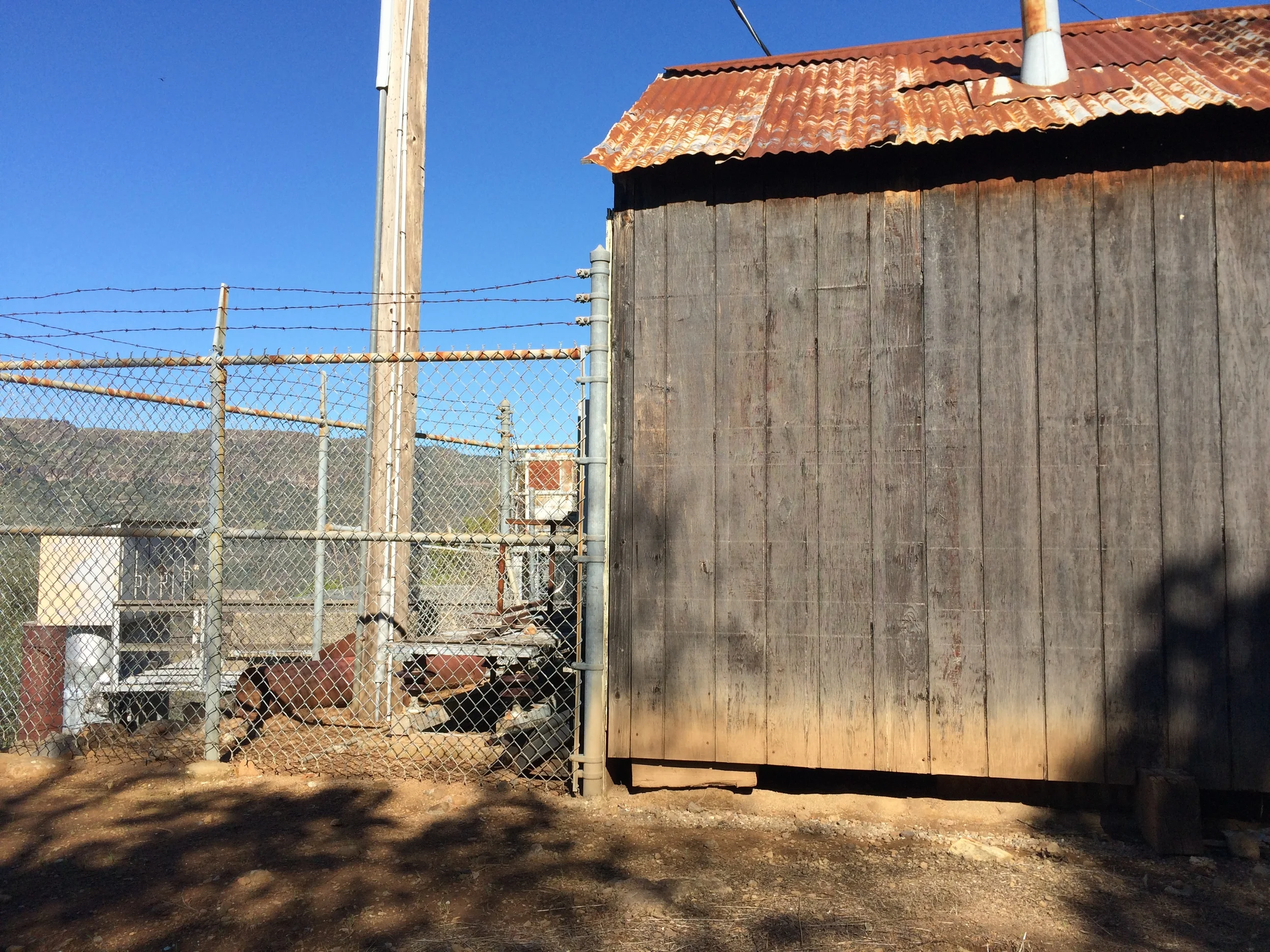
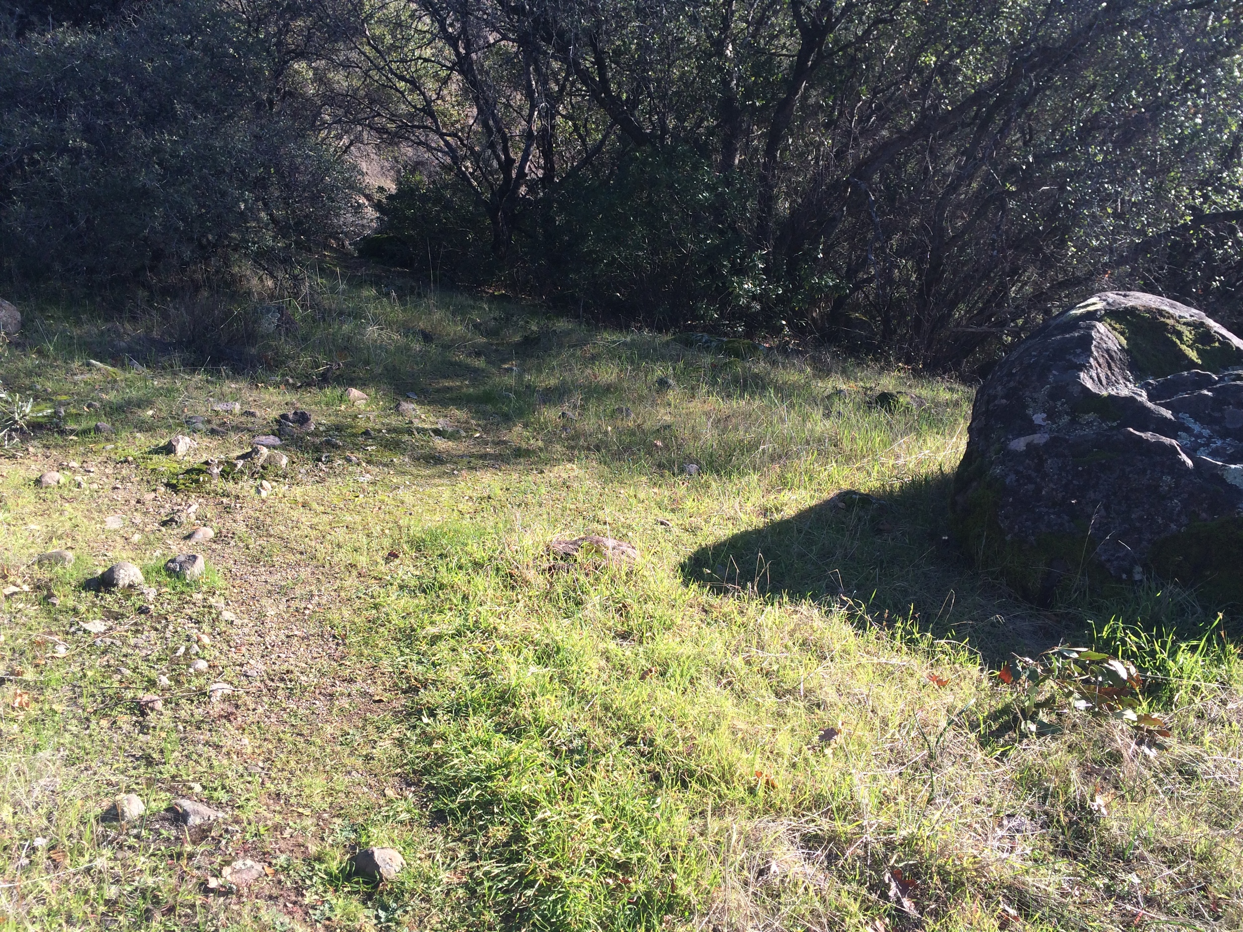
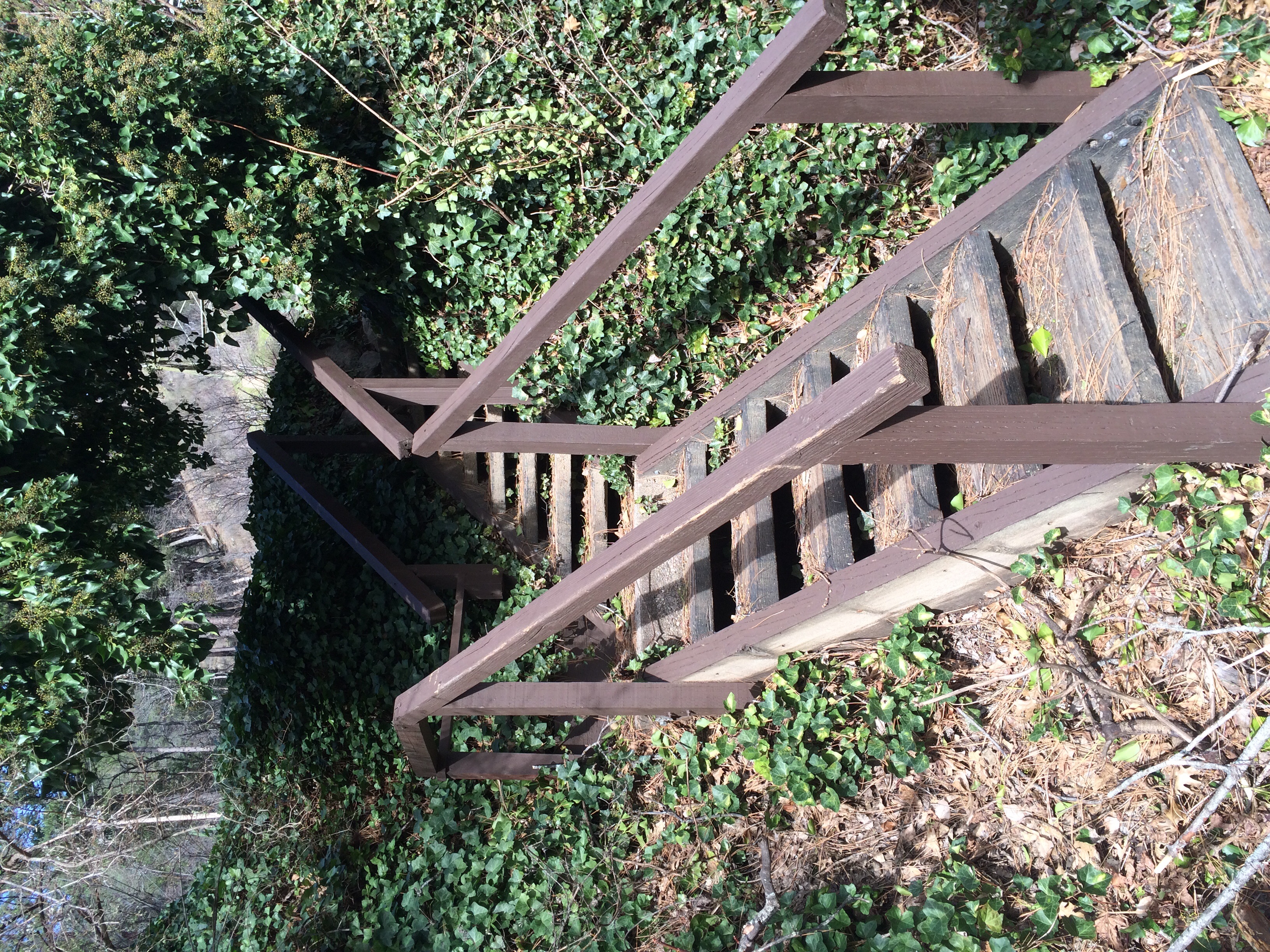
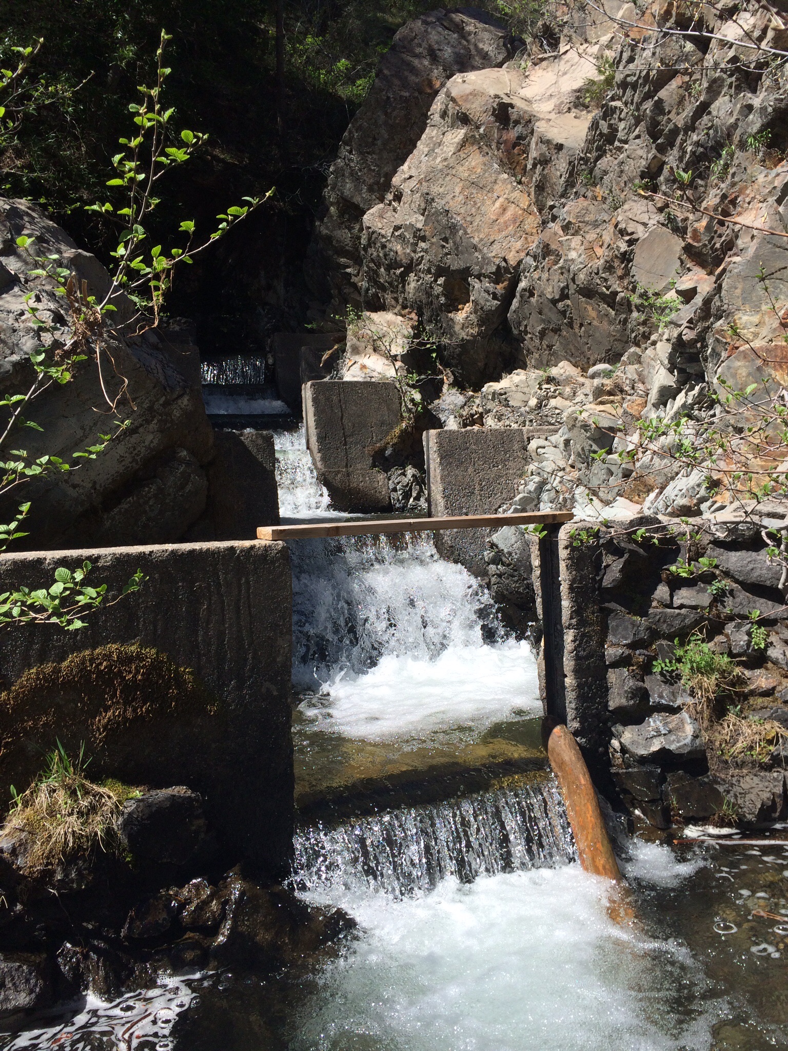
***Shortly after the trail begins, it is intersected by a gravel road. The trail continues up and across the road (SEE PHOTO) however, there is a neat PG&E power dam at the end of the gravel road (SEE PHOTO) that is interesting to explore before heading back up the trail.
We were told that the trail continued approximately 2.5-3 miles (one-way) until it dead-ended into a road where there was some old mining equipment. We continued on the trail to the end but at approximately 1.6 miles in, it becomes difficult to follow and required scaling up several sleek rock surfaces. If we were to do this hike again (as we plan to do) we would stop at the final main waterfall (approximately 1.62 miles in) and head back. You can continue along the trail should you be in an exploratory mood (and equipped with good hiking shoes) but we found that the best part of the hike was in the first mile and a half.
We are definitely curious to explore the two other trail options here and to head down to some of the excellent swimming spots that divert off this trail come summer.


